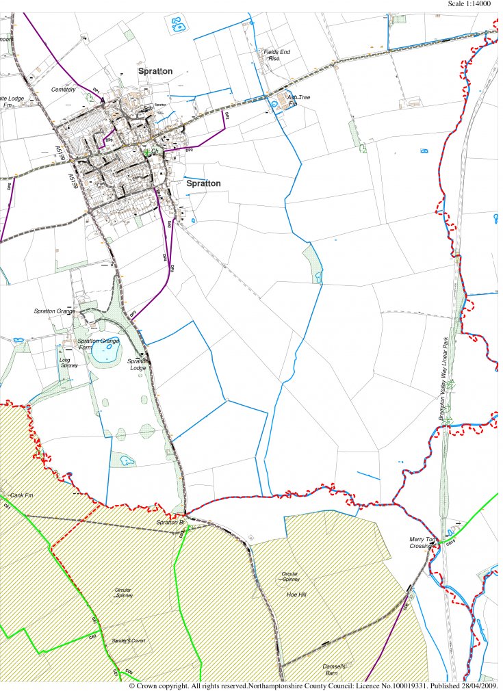
Map of Spratton Showing the Parish Boundary.
This map shows most of the parish except the most Northerly part and shows the parish boundary.
It was supplied by Northamptonshire County Council and is dated 28 April 2009.
Image Reference: 3120
Related Searches: Maps | 2000